Directional Drilling in Waco
Texas's longest river runs straight through downtown — under the historic suspension bridge cattle once crossed, past a riverfront in full renaissance, out of a lake that supplies the city and over terraces where mammoths bogged down. Heart-of-Texas HDD is Brazos-braided drilling in a city rediscovering its river — and it's ours.
HDD is the whole job here
Waco's ground comes in three braids, and the Brazos wove them: east of the river, black prairie clays — deep, reactive, crack-in-August ground that demands tuned fluid and fused products; west and north, the Washita's limestone benches rise toward the hill margins, putting honest rock classes into bores at Bosque-country depths; and stitched between them, the river's own contribution — alluvial terraces of sand and gravel flanking the Brazos and the Bosque, water-bearing, cobble-strewn in their old channel threads, and famous enough that mammoths mired in one of them left a national monument on the city's edge. Three-braid quoting names which ground your alignment actually crosses, because a clay number on a gravel terrace is a fluid plan waiting to fail.
The market has remade itself in a decade: downtown's riverfront renaissance — the silos-driven tourism wave, the university's expansion, a hospitality economy no one projected — runs alongside an industrial base with genuine range: the rocket test stands at McGregor, where engines are proof-fired on rural campuses with coordination cultures all their own; legacy manufacturers from candy to aerospace components along the rail spines; and the I-35 corridor's midpoint logistics, warehousing the ground halfway between Dallas and Austin. Utility work spans the same range — riverfront streetscape care one week, test-stand campus services the next, corridor crossings against the interstate's rebuild in between.
The river is the organizing fact: Lake Waco's dam holds the city's water supply on the Bosque arm, the Brazos runs dam-released through downtown's cable-stayed shadow, and Falls County's bottomlands carry the river south past the old falls that named the county. Behind everything sits the network desk — 50,000+ boring calls answered, ~10,000 crossings quoted, 2,000+ drilled — pricing the Heart of Texas with all three braids in the math.
Fiber-Optic Boring
Campus and riverfront duct, test-stand laterals, and FTTH across the braids.
Electrical Duct Boring
Feeders for campuses, plants, and a corridor economy at the interstate's midpoint.
Water & Force-Main Boring
Pressure pipe from the lake's supply to the bottomland systems south.
Brazos River Crossings
The signature Heart-of-Texas bore: under the state's longest river at its most storied bend.
Road & Highway Crossings
City, county, and TxDOT crossings — braided ground, interstate rebuild, honest windows.
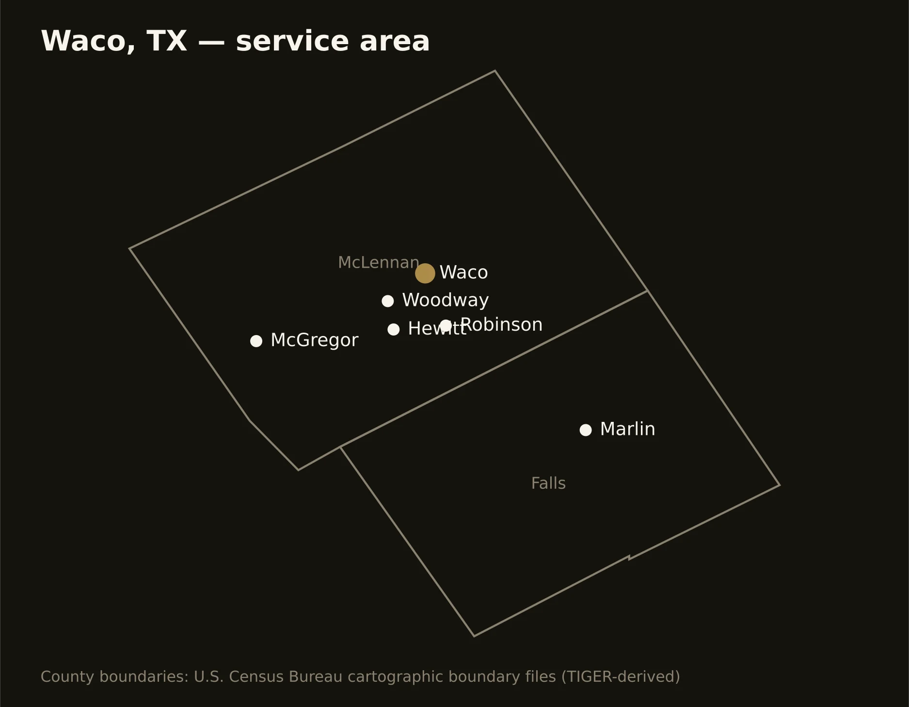
Two counties braided by the river — McLennan carrying Waco, its ring of suburbs, and the test-stand country at McGregor, and Falls running the Brazos bottomlands south through Marlin. Full county list on the service-area page.