Brazos River Crossings
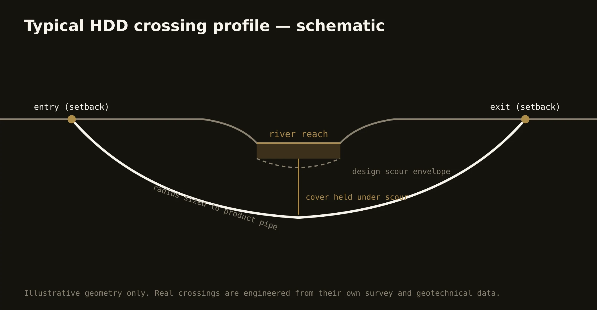
The Brazos through Waco is Texas history in cross-section: the suspension bridge that carried the cattle trail, the dammed pool downtown's renaissance now fronts, Lake Waco's federal project holding the Bosque arm, and the river running dam-released south into Falls County past the shoals that named it. Crossing it is the signature Heart-of-Texas bore — and a terrace-country engineering exercise: profiles pass through the river's own gravels and sands beneath the channel, gravel honesty governs the fluid plan, and release schedules from the dams upstream make stage awareness a scheduling fact.
The stack fits a supply-and-recreation river: the federal project's machinery on the lake's world — shoreline rules, flood-pool realities, and the district's say on the dam's water; state floodplain and water-quality machinery on the river reaches; the city's riverfront interests downtown, where the renaissance blocks treat the banks as the front porch they've become and event calendars join the schedule; and the road or rail owner overhead. The Bosque's arms carry the doctrine west at source-water grade, and Falls County's bottomland reaches add levee-and-drainage interests along the farmed flats.
Fluid discipline runs river-grade throughout: containment both banks, conservative pressures in gravels that take fluid greedily, monitored returns, and the response plan written before the pilot turns — under a river the whole state claims, that's simply the job done right.