How Directional Drilling Works in Waco Ground
Three braids: clay, bench, and terrace
The metro's geology braids at the river: black prairie clays east — deep, reactive, seasonal-crack ground that runs the fused-product doctrine; the Washita's limestone benches west and north, honest rock classes at hill-margin depths; and the Brazos-Bosque terrace system between — the river's own sands and gravels, water-bearing, cobble-threaded, and permeable enough to take drilling fluid greedily. The terraces are the local specialty: they carry more of the urban map than outsiders guess, they preserved mammoths well enough to make a national monument, and they reward gravel-rated planning the way they punish clay assumptions. Three-braid quoting names the ground per reach and prices each as its own trade.
The remade city and its ranges
Waco's decade rewrote its utility map: the riverfront renaissance filled downtown with visitors and streetscape standards, the university's growth added campus-grade work, the test-stand country at McGregor runs facility protocols on rural campuses where engines are proof-fired, the plant belt holds its rail-served rhythm, and the interstate's midpoint logistics stack warehouses at the interchanges — all while I-35's reconstruction sets the corridor's tempo. The range is the point: riverfront manners, industrial protocols, and corridor coordination can share one week's schedule here, and the desk prices each register as itself.
The sequence, Heart-of-Texas edition
The bones are standard — locates plus private designating, potholes on every claimed utility, pilot on profile, ream to about one and a half times the product, pull, restore. Local bends: fluid tuned per braid with gravel-rated plans on the terraces, stage awareness near the dam-released river, riverfront event calendars honored downtown, test-stand protocols where McGregor's campuses apply, interstate-program coordination where the rebuild does, and restoration that treats renaissance blocks, prairie lawns, and bottomland headlands as the different surfaces they are.
Who owns what you're crossing
The city and the ring suburbs run their own ROW counters; two county departments cover the rural miles; TxDOT permits I-35, the loop, and the US spines. The federal project governs the lake's shoreline world and the dam's releases; state floodplain and water-quality machinery rides the river; the riverfront's civic interests shape downtown's banks; railroads permit the plant-belt serve; and the test-stand campuses run their own facility coordination. The quote names every owner on your alignment — here, the first questions are which braid and how close the river's old work runs.
Straight answers
Will you hit rock on my bore?
Ask the braid: bench country west and north drills the Washita's limestone as honest rock, the black clay east runs deep and stone-free, and the terraces carry cobbles that aren't bedrock but argue like it against light tooling. The quote names your braid from the maps and the call history, and geotech settles it where the stakes justify.
How deep do bores run under Waco streets?
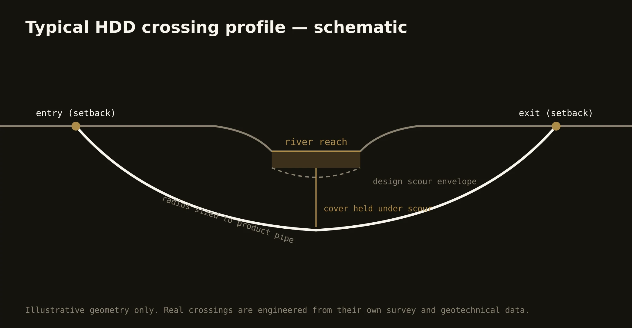
Cover follows the owning authority's standard and sits below everything potholed on the alignment — with river and lake-world crossings running to the federal project's and state criteria, clay depths minding the seasonal zone, and terrace depths minding the water that moves with the river's stage. The plan states your number and your braid at it.
Does the tourism boom affect utility work downtown?
It sets the manners: the riverfront blocks host visitor volumes the old downtown never carried, so streetscape care, tight staging, event-calendar coordination, and restoration to renaissance standards are simply how downtown work runs now. HDD suits the moment — the surface stays whole while the work passes beneath it — and our quotes carry the district's manners as standing scope.
Ready to put a number on a real crossing? Send the scope — a person prices it.